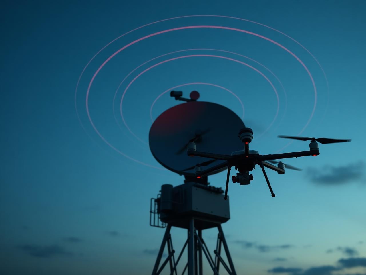
AI-Powered Counter-UAS & Low-Altitude Security Solutions
AI-driven counter-drone and low-altitude airspace security for critical infrastructure, government facilities, industrial sites, transportation hubs and public events — detection, identification, tracking, localisation and mitigation unified under a single command platform.
Protect the airspace above what matters most
Our AI-powered counter-UAS solutions deliver intelligent drone detection, identification, tracking, localisation and mitigation in a single centralised command and control environment. Engineered for government facilities, airports, industrial sites, energy facilities, transportation infrastructure and public-safety operations, every deployment is sized to the threat profile of the site and integrates cleanly with existing security operations.
- AI-powered drone detection and early warning
- Real-time identification and threat classification
- Continuous UAV tracking and high-accuracy positioning
- Remote-pilot localisation and intent assessment
- Precision mitigation with operator-in-the-loop controls
- Centralised command, control and multi-site federation
- Fixed, portable, vehicle-mounted and mobile deployment options
- Scalable from single sites to city-wide protection envelopes
Engineered devices, delivered as one catalogue
Every device in this category is specified, integrated and supported by the same engineering team — not a marketplace of loosely-coupled vendors.
Wide-band, receive-only RF arrays detect, classify and geolocate UAVs and their remote pilots without emitting energy.
Fused radar, RF, EO/IR and acoustic sensing under a single airspace-picture engine.
Backpack and case-based kits for rapid deployment by security and public-safety teams.
Roof-mounted detection, tracking and mitigation packages for mobile protection details and event security.
Fixed sensor towers with overlapping coverage for sites, corridors and city-scale deployments.
Centralised C2 platform with real-time tracks, alerting, evidentiary recording and multi-site federation.
Built for the workloads your operators actually run
AI-driven RF, radar and acoustic detection identifies unauthorised UAVs the instant they enter the protected envelope.
Multi-sensor fusion delivers precise location, altitude, heading and velocity for every track on the airspace picture.
RF direction-finding pinpoints the operator's position so security teams can intervene at the source of the threat.
AI models distinguish hobbyist UAVs from purpose-built threats and suppress benign signals like birds, weather and traffic.
Always-on detection, alerting and slew-to-cue camera handoff run without continuous operator intervention.
Operator-authorised, policy-driven mitigation engages with measured force scaled to the threat and the operating environment.
Federate dozens of sites under one airspace picture; route alerts to the operators and stakeholders responsible for each zone.
Continuous monitoring through darkness, weather and high-clutter environments — with audit-grade recording and replay.
Every airspace track, RF emitter and operator location is fused inside Gilead Command alongside cameras, access events and ground sensors.
Fixed, portable, mobile — sized to the protection envelope
Permanently installed sensor and C2 infrastructure engineered for the site's protection envelope and operating tempo.
Backpack and case-based kits that field teams can deploy and operate inside minutes for short-notice tasks.
Integrated detection, tracking and mitigation packages on patrol vehicles, protective details and convoys.
Self-contained mast and trailer platforms for incident response, exercises and temporary protected events.
Towers and arrays combining radar, RF, EO/IR and acoustic sensing under a single fused track engine.
Operator workstations, large-format displays and federation infrastructure for unified airspace management.
Deployed and operated, not just specified
Low-altitude detection around runways, approach corridors and airside boundaries with controller-friendly displays.
Layered counter-UAS coverage with hardened C2 and operator workflows aligned to defence doctrine.

Wide-area sensor coverage for refineries, terminals and offshore assets — fused with existing perimeter security.
Detection over substations and generation assets with policy-driven alerting to control rooms and security operations.
Multi-zone airspace monitoring federated with municipal command centres, transit and event operations.
Rapid-deploy detection and tracking for ticketed events, broadcasts, VIP visits and parades.
Wherever the consequence of a miss is too high
Why operators choose this stack
Trained models classify UAV intent, suppress false alarms and surface the small set of tracks that warrant operator attention.
Receive-only RF and passive sensing — no transmissions that interfere with site operations or neighbouring spectrum users.
Multi-sensor track fusion delivers precise UAV location, altitude and heading — plus remote-pilot geolocation where RF protocols permit.
Add sensors, sites and operator seats incrementally as the protection envelope and threat picture evolve.
Detection, tracking and slew-to-cue camera handoff run continuously without dedicated operator attention.
Portable, fixed and vehicle-mounted form factors integrate with existing security operations in days, not months.
Engineered for 24/7 outdoor duty cycles with redundant power, weather-sealed enclosures and remote health monitoring.
Open APIs and standards-based protocols connect cleanly to existing VMS, access control, SCADA and command platforms.
Speaks the protocols your stack already speaks
Open standards by default, with vendor-specific adapters where they shorten the path to value. We don't hold your stack hostage.
- ASTERIX CAT-129 / CAT-247Supported
- Remote ID (FAA Part 89 / ASTM F3411)Supported
- MIL-STD-2525 symbologySupported
- ATAK / WinTAK / iTAKSupported
- ONVIF Profile T (slew-to-cue)Supported
- SCADA: OPC-UA, Modbus, REST/MQTTSupported
Lifecycle services — from first survey to operational handover
Threat modelling, regulatory review and concept-of-operations workshops with engineers who have deployed these systems before.
On-site RF, geographic and operational survey to characterise the airspace, line-of-sight envelope and threat profile of each location.
Sensor mix, coverage geometry, C2 architecture and integration plan engineered specifically to the protection envelope and operating tempo.
Civil works, mounting, cabling, network and integration into existing security operations and command platforms.
Role-based training for operators, supervisors and incident commanders — from detection workflows to evidentiary handling.
Preventive maintenance, remote health monitoring, software updates and field response under defined service-level commitments.
Programme management for multi-site, multi-phase and federated deployments aligned to stakeholder governance and reporting.
Deployments in the field
Bring the engineer who's deployed this before
Share your site, your constraints and your timeline. We'll match you with the engineer responsible for the deployment closest to yours and reply within one business day.