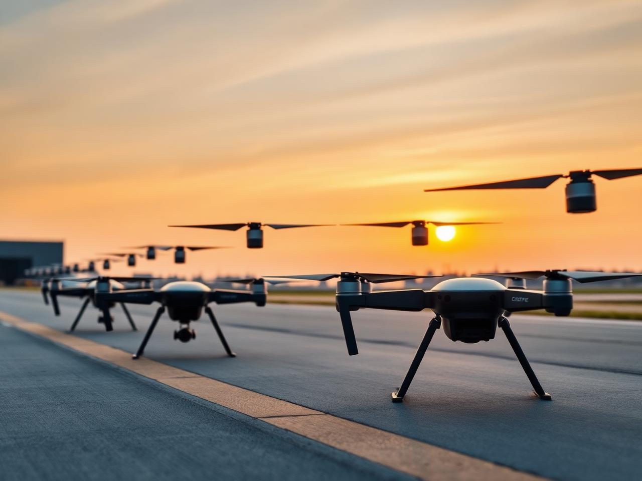
Drone, UAV & Counter-UAS Technologies
Aerial monitoring, autonomous inspection and counter-drone defence — designed for the operators responsible for everything below, and above, the perimeter.
Own your airspace — operationally and defensively
Vanguard delivers both the airborne platforms and the systems that watch the sky for everything you didn't launch. Enterprise drone fleets handle inspection, mapping and surveillance, while integrated counter-UAS layers radar, RF and optical sensors with mitigation options for critical sites.
- Free-flight and tethered UAV platforms with redundant flight controllers
- Fleet operations console with mission planning, geofencing and audit
- Layered counter-UAS detection across radar, RF, EO/IR and acoustic
- Doctrine-aligned mitigation options where regulation and authority permit
Engineered devices, delivered as one catalogue
Every device in this category is specified, integrated and supported by the same engineering team — not a marketplace of loosely-coupled vendors.
Quadcopter and hexacopter airframes with IP55 sealing and 45-minute endurance.
Fixed-wing and VTOL platforms for long-range survey and persistent overwatch.
Multi-sensor pods with EO/IR, laser rangefinder and onboard recording.
Indoor and confined-space drones for tank, stack and pipeline inspection.
Long-endurance tethered platforms for incident overwatch and event security.
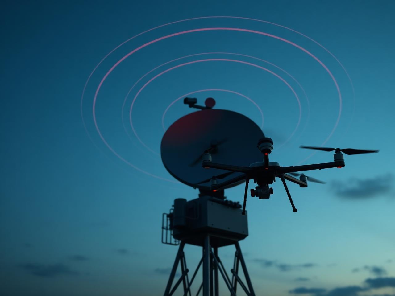
Layered detection: RF, radar, EO/IR and acoustic — fused into a single track.
AESA-class radar arrays optimised for low-RCS multirotor signatures.
Wideband RF scanners that classify control links from 70 MHz to 6 GHz.
Unified airspace picture with track history, classification and replay.
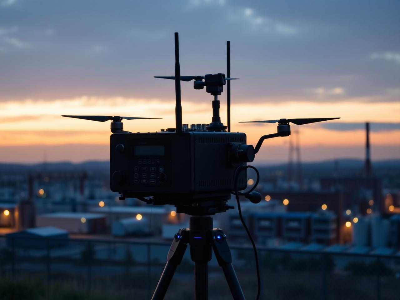
Man-portable and vehicle-mount detection kits for rapid deployment.
Trailer-mounted C-UAS stations with on-board power and command tablet.
Built for the workloads your operators actually run
Live HD video and sensor telemetry streamed from every airframe to the operator console.
Fused radar, RF and EO/IR tracks with AI classification down to airframe family.
Continuous picture of cooperative and non-cooperative traffic across your operating area.
Replace rope-access work with autonomous flight paths and AI defect tagging.
Persistent overwatch for borders, ports and energy assets — including night and obscurant ops.
Photogrammetry and LiDAR-derived deliverables, georeferenced to your existing GIS.
All aerial assets and detection sensors stream into Gilead Command as native tracks on the same operational map.
Deployed and operated, not just specified
Persistent UAV cover and counter-drone defence for energy and water assets.
Fixed-wing and VTOL platforms with EO/IR detection of small craft and incursions.

Autonomous inspection of stacks, flares and tanks — reducing rope-access exposure.
Tethered overwatch and C-UAS perimeter for stadia, summits and public gatherings.
Wherever the consequence of a miss is too high
Speaks the protocols your stack already speaks
Open standards by default, with vendor-specific adapters where they shorten the path to value. We don't hold your stack hostage.
- ASTM F3411 Remote IDSupported
- MAVLink / DroneCANSupported
- Esri ArcGIS / QGISSupported
- PIX4D / Bentley ContextCaptureSupported
- ATAK / WinTAKSupported
- Custom: REST, MQTT, KafkaSupported
Deployments in the field
Bring the engineer who's deployed this before
Share your site, your constraints and your timeline. We'll match you with the engineer responsible for the deployment closest to yours and reply within one business day.